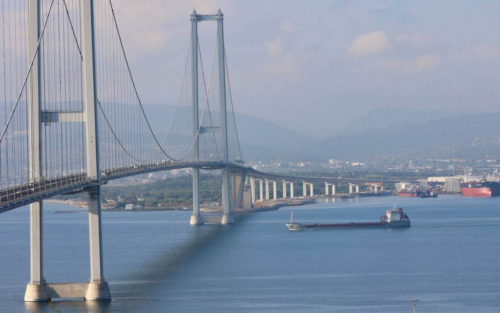
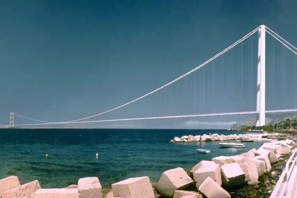
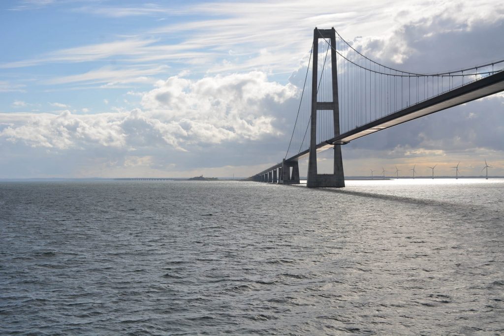
The Izmit Bay Bridge is located in Turkey, at the eastern end of the Sea of Marmara and approximately 50 kiliometers from Istanbul. It connects Istanbul with the southeastern coast of the Sea of Marmara, and thus the travel time is reduced significantly between the city and other such destinations in Turkey.
The bridge along with the connecting highway is designed such way that is provides 3 traffic lanes in each direction acroos the Bay of Izmit. The bridge covers a total length of 3.3 kilometers, while the main span covers 1,688 metres.
There are many discharges that enter the Izmit Bay, among them there are eight dominant discharges. As a result, chemical analyses of the discharges are been made and it has resulted in a short term 14C algal bioassays. The inflow rates of the eight discharges are combined and then the predictions of the toxcity distributions in the upper layer of the bay are finally obtained. There are some tips to be notified for reducung the toxcity in the bay – the dominant mechanism in reducing that be the uptake by phytoplankton. The second dominant mechanism being the dispersion of waste by wind-induced current. Though almost all the industries which are contributing to the discharges to the bay, have water treatment plants, the treatment quality in eliminating toxcity seems to be insufficient. The results show that, heavy amounts of heavy metals are found in the discharge and the levels of mercury, cadmium and lead are found to be the highest.
The most important thing, which has to be mentioned about the bay, is a large earthquake which occurred in the Western Turkey on the Northern Anatolian Fault on August 17, 1999 at 3:02 am local time (00:02 GMT). The magnitude of the quake was 7.4 Mw and the epicenter was located very close to the south shore of the Bay of Izmit. And it occurred in the eastward extension of the Marmara and the location of the of this earthquake and its proximity to a populous region on the Bay of Izmit contributed greatly to its damaging effects. The total loss was estimated around $200 million (US). The major contribution for the loss was by the subsidence and slumping and there are some suspect ions too that a tsunami also occurred along the coast of Izmit bay, in the Sea of Marmara. Even a survey team from USC visited the Bay to investigate the reports and the group finally determined that the reports of the tsunami were true to the fact and it has a maximum run up of 2.5 m along the northern coast of the bay and 1 to 2 m on the southern coast. The tsunami caused heavy damage and deaths.
While talking on the Bay of Izmit, a mention about the Gulf is not to be missed. The area is been heavily populated with several industrial plants – which include ship building yards, factories, and storage tanks for chemical industries, paper mills and refineries.


